Google Help
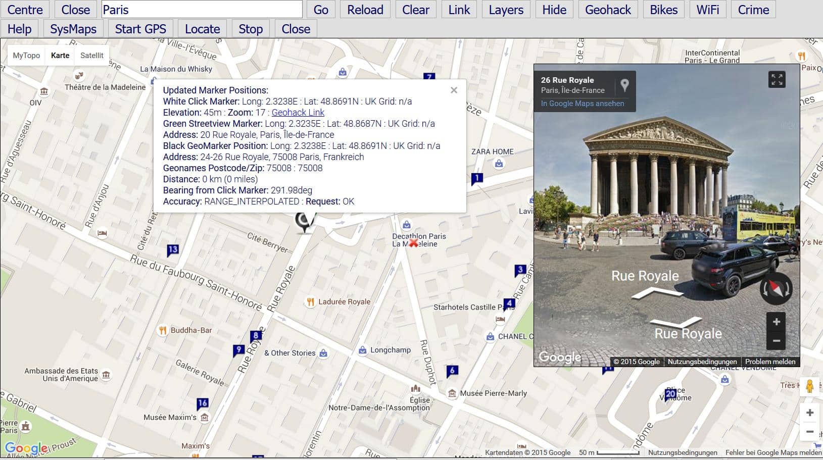
Pop-up or standalone map with Google and OpenStreetMaps with Streetview zoomed to the centre marker of the base map. Map opens initially on a map view with Google Streetview (if available). Use the search for UK Postcodes and places in the form Street, Place, Region, Country.
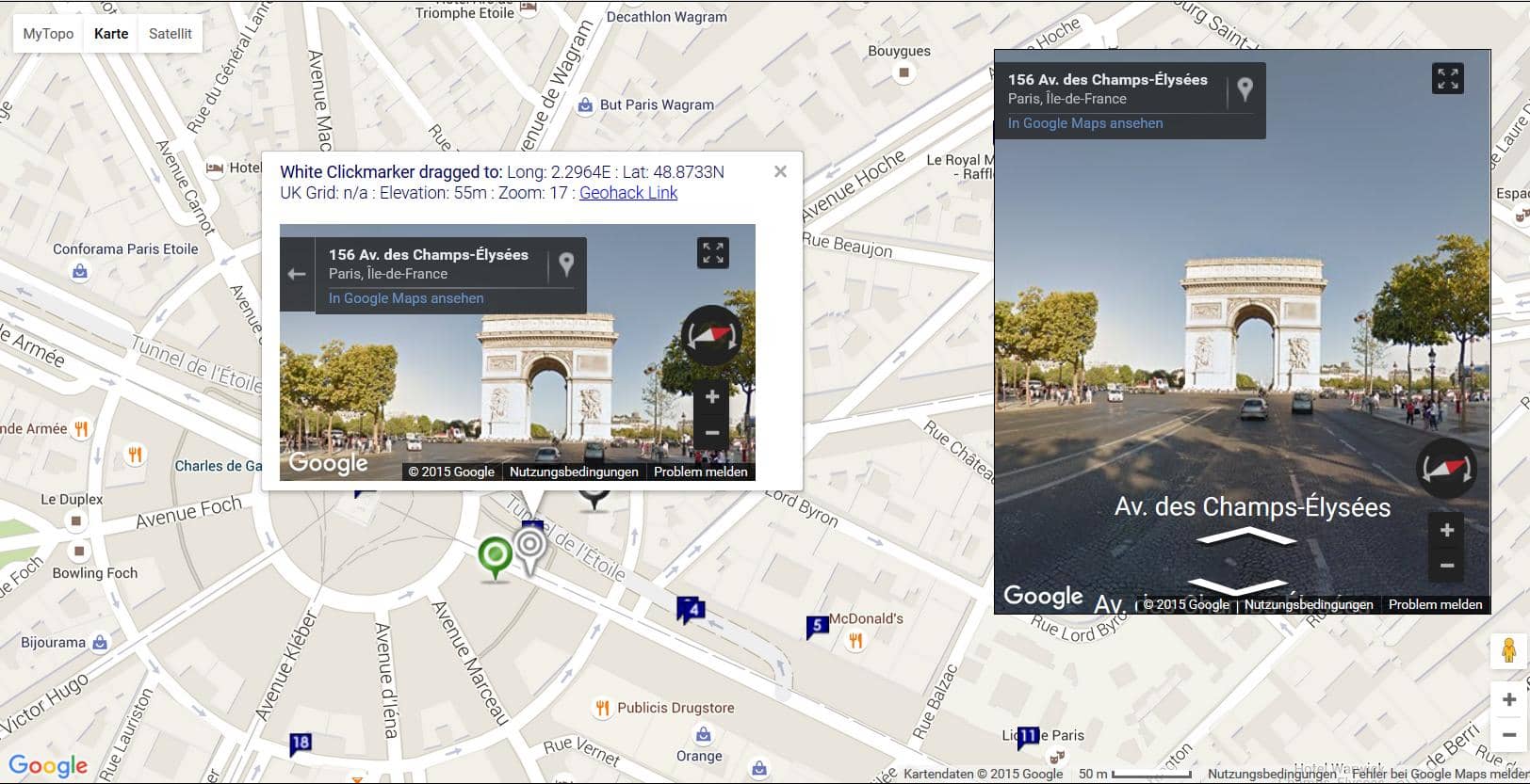
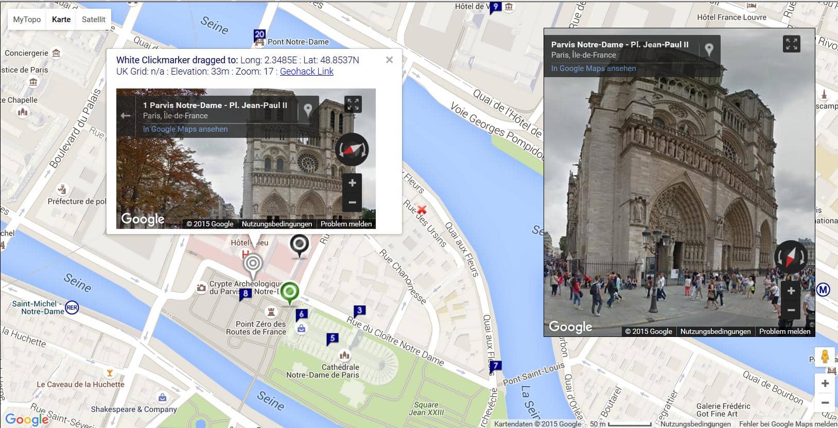
If you press 'Locate', the map uses browser positioning to try to centre on your current WiFi position. Drag the white marker to open Streetview in a info box or click the map to update the Streetview window. Steeetview will only display if it is available in the locality.
Press 'Layers' to cycle through Roadmap, Traffic, Cycling, EU Transport and OSM Mapnik in sequence. Press the button on the map to access US topo maps at Topo.
There are also links in pop-up windows to London Bikes, WiFi spots and the UK crime map.
There are two Google maps: Google Map is based on Google v2 API which was officially deprecated on the May 19th 2010 and Google Mobile Map which is based on the later v3 API. V2 uses Adobe Flash and will not display Streetview on an Apple iPad. The first example below displays the Google Mobile Map and the second two show the Google Map based on v2.
The Google Mobile Map also plots the nearest twenty Wikipedia entries on the map and shows a list of links below the map. The Wikipedia entries update as you move the map and then press the button again.
Streetview
If Google StreetMap is available, you will see blue lines on the roads. Click a position and a marker is displayed with the current position, together with the StreetMap object. Drag the white marker and if Streetview is available it will be displayed in a popup. The black Geocoding marker provides a nearby address. Use the controls or double click the cross at the top right of the StreetView object to access full screen mode.


